Drones are changing the world. Through every industry, drones strengthen human productivity and can even reach beyond machine capabilities. One of the biggest fields that drones are taking to new heights: research.
Who knew drones would have such a huge impact on the way researchers collect and interpret information? To learn how drones are affecting research and application for the better, keep reading.
Drone Technology and Research
Research is time-consuming and intensive, full of many moving tasks. Thorough research in any industry requires accurate collection and analysis of data, plus a way to adapt findings as data may change over time.
Even with advanced technology today, there are some things that limit experienced researchers from gathering and interpreting data correctly. There are safety concerns, security measures, and observational limitations, especially when a scientist can’t directly access research subjects.
Drone technology solves both observational and organizational aspects of research challenges. Fields such as life sciences, technology, behavioral psychology, agriculture, and engineering already use drones for research purposes.
Drones in research come down (or go up) to three things:
- Monitoring
- Measuring
- Data Surveillance
Let’s look at all three.
Drones and Monitoring
Drones are lightweight— sometimes as small as a hummingbird or honeybee. Instead of using large, expensive aircraft to aerially monitor something, drones can be set up with different equipment to do it carefully.
Here are some examples of drone monitoring in research:
- Surveillance for research in law enforcement
- Transportation and traffic
- Search and rescue routes
- Agricultural and land monitoring
- Specimen monitoring and data collection in the lab
Today, drones are used to monitor valuable facilities involving government, businesses, and high-security prisons. Drones observe patterns of operation to give researchers useful data about performance and safety.
Drones and Measuring
Research drones gather images, videos, and data that would otherwise be difficult to obtain. Here are the ways researchers use drones for measuring.
- On land: Drones with sensors capture the moisture content in pastures and crop fields. They can stream live video feeds of volcanic activity, and deliver heat maps and measurements of landmarks.
- From the sky: Vital information about air pollution, water quality, and climate change can be collected through drone technology. Other data such as population counts of humans and animals can be sent from remote locations to a group of researchers. This is extremely helpful when creating solutions for conservation.
- In water: Aquatic drones can measure underwater changes from chemical solvents to marine life mating patterns. One drone project helped reduce a dangerous population of mosquitoes in Guatemala using water drone monitoring.
Another measurement that drones assist with is disaster relief, allowing researchers to observe and measure the full effects from a safe distance. Drone measurements help generate predictive data with accuracy for future events like hurricanes, tornadoes, and volcanic eruptions.
Drones and Surveillance Data
Surveillance is one of the top industries investing in drone technology today. But surveillance doesn’t only involve security and safety. It’s about protecting life, property, and the environment, both near and far from human civilization.
Drones and Geology
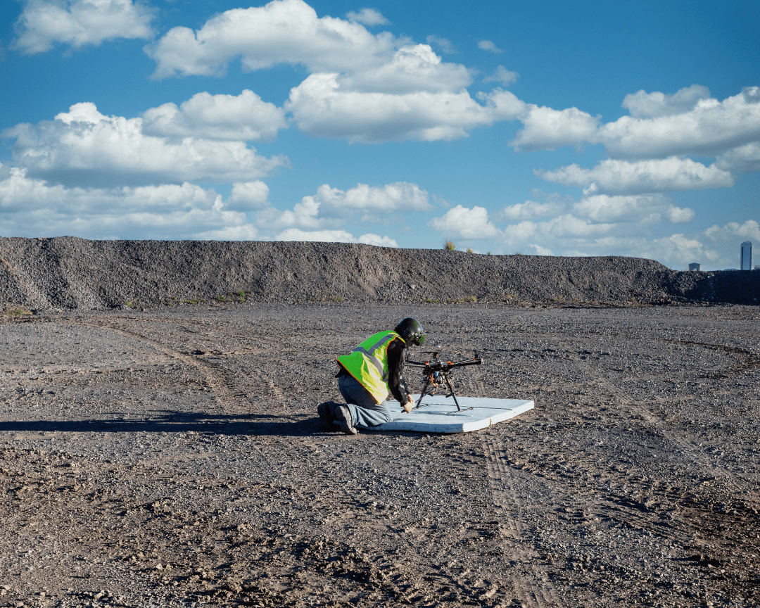
Geological researchers use drones for 3D mapping and digital modeling of land masses. They can detect and measure significant changes in the earth’s surface, such as landslides, earthquakes, or sinkholes.
Drones are used to sense geothermal heating and cooling to quickly deliver climate change data. They’ve also provided advanced geospatial technology solutions to improve GPS, construction, and geotagging initiatives.
Drones and Agriculture Data
Thanks to drones, the world is seeing major agricultural innovations. On small-scale farms and industrial farms alike, drones survey the water absorption patterns of different crops and deliver data to farmers. With this information, farm planners can adjust irrigation methods to be more sustainable.
Agricultural drones also detect invasive pests like insects and wild animals. Equipped with sensors, drones collect data on how much greenhouse gasses a farm is producing. This invaluable information can be delivered to environmental research labs to track global results.
Drones and Topographical Data
Drones capture aerial data using LiDAR and RGB cameras, which give topographical researchers a new perspective when land surveying. Camera drones can take multiple pictures in the matter of seconds and provide enough data to develop elevation models and volumetric statistics.
Mapping with drones is more effective and more affordable than using satellites or helicopters. Industrial developers use crucial drone data to help with urban planning, cartography, and land monitoring.
Drones and Population Data
Researchers use drones to survey human and wildlife populations. From tracking sensitive, endangered species to discovering new marine life, drones allow scientists to observe the natural world like never before.
Another way researchers use drones for population data is to catch and confront poachers. This could potentially save vulnerable species in the wild, especially in remote areas where illegal poaching is a difficult issue to control.
Drones and Climate Data
Unlike weather balloons or satellites, drones for weather tracking and research are helpful. Today, drones and researchers can save human lives by predicting major weather events earlier than other technologies.
Weather and climate drones monitor all types of pollution, from smog in the atmosphere to oil and sediment concentration in the water. Drone technologies aid climate researchers in identifying events that could be harmful, such as toxic gas leaks.
Drone Skills Now: Researchers Tomorrow
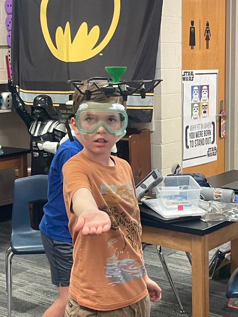
To develop expert researchers of the future, today’s students first need to be aware of essential career skills. Whether in research, science, engineering, or other STEM specialties, drones are an inevitable part of the workforce.
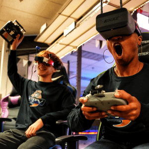
How can kids begin to learn the skills they need to think like researchers in education? The Drone Legends curriculum combines the fascinating use of drones, the standards of STEM, and the critical thinking skills required to create the data scientists of tomorrow.
Reach out today to learn more about our research-backed drone curriculum for K-12 students. Drone-ready, they can change the world.