Using technology in education means thinking outside the box. Or, in this case, outside of the map. Geospatial education for kids can change the face of STEM learning, even for elementary students.
Technology is constantly evolving, and geospatial skills are now essential to nearly every industry, from banking to forestry. Geospatial education is more than just learning to pinpoint locations on a map. These technical skills prepare students for a bright future.
What is Geospatial Education?
Geospatial education is the implementation of geospatial technology in a learning environment. It ticks all of the boxes of STEM education and allows students to learn problem-solving and critical thinking skills. Geospatial technology typically includes:
- Global Positioning Systems (GPS)
- Geographic Information System (GIS)
- Remote Sensing
- Image Analysis
It can also include other location-based technology systems. Engaging students in geospatial education allows students to see how location can impact the world around them. Location data can create or solve even some of the most complex problems.
GIS for Education
GIS technology is taking the world by storm, and this includes education. This system, known as GIS, first creates and analyzes data. Then, it connects to a map and connects the location of each item with descriptive information. Interestingly, this information is the foundation of mapping used in most areas of science and technology.
GIS is a big part of geospatial education, but how is it implemented? Educators can use activities such as asking students to identify locations on a map or create digital maps to increase their spatial thinking.
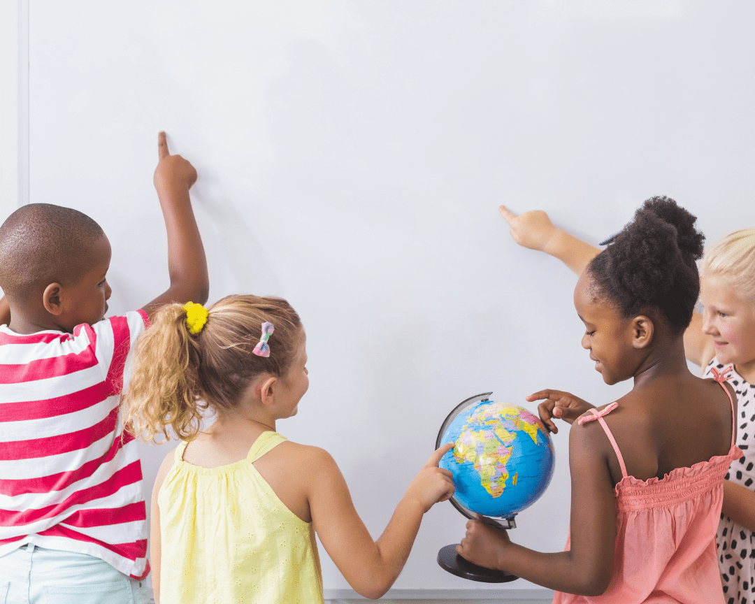
Maps and GIS
Geography lessons teach students about location, environments, and the physical properties of Earth. But GIS takes this further by helping students relate geography to their own lives.
Allowing students to examine maps of their area or create a map of their own helps expand their geospatial skills. Interactive maps are an excellent way for teachers to use data to explore the world around them. It also provides a way for students to learn about the environment.
What Domains Does Geospatial Education Address?
Geospatial Education doesn’t just cover geography. It opens students’ minds to the possibilities in the world around them. This type of education can include different calculations and data analyses, encouraging students to think critically and problem-solve. It checks off all kinds of domains such as:
- Geography
- Math
- Critical thinking
It can even cover creative topics such as storytelling! For example, educators can have students combine maps with text to create a story map. With this project, students use GIS tools to create a story in a visual format. Story maps often use various media, so it helps students build other technical skills.
GIS Facts for Kids
GIS typically stands for Geographic Information System but can also stand for Geographic Information Sciences. However, both are related to geography. Teachers can often use a Geographic Information System to help students better understand their world. It’s often described as a system that can display specific location data on a map. Additionally, a GIS can:
- Capture particular positions on the Earth’s surface
- Find patterns in specific locations
- Store information about a site based on coordinates or an address
- Determine information about the people, buildings, or other descriptors of the location
Simply put, a GIS takes data from the real world and manipulates it before providing its output data.
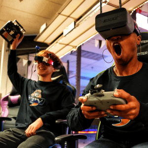
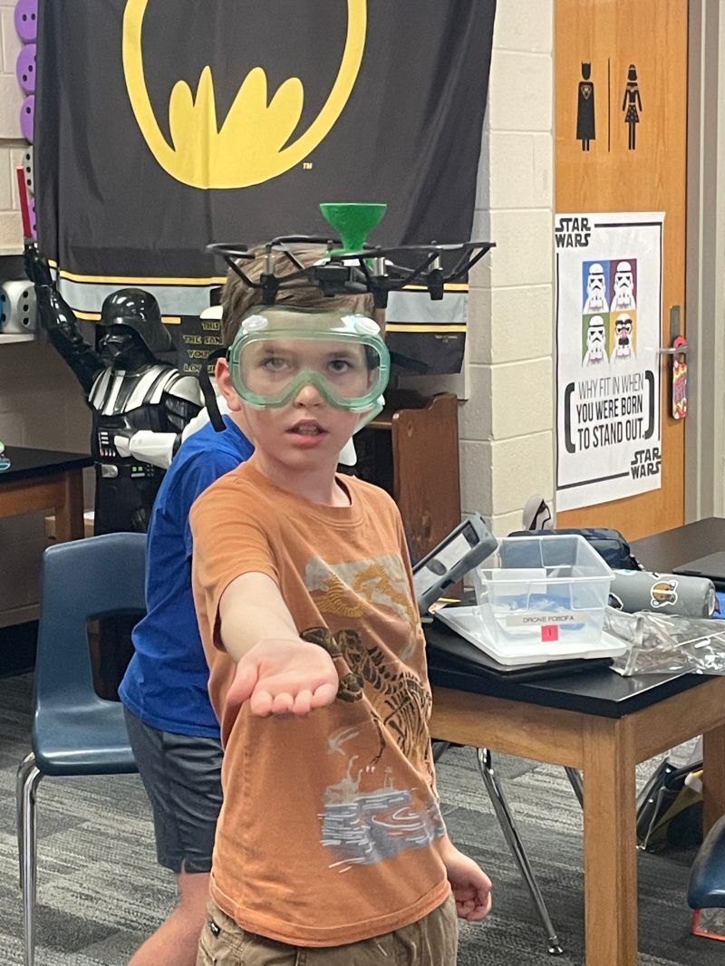
Mapping Skills + Drones = Geospatial Experts
Geospatial technology and drones connect in a pretty substantial way. That’s why drones are a big deal in the GIS industry since drone technology makes it easier to collect data for mapping. They can fit in spaces traditional aircraft can’t, and it’s much more affordable for organizations to use drones. Some drones even use GPS technology to fly independently.
Professionals use mapping skills in various industries, and now they’re using drones more frequently to make mapping easier. One example of this in the real world is the rise of drones for use in agriculture.
Using drones to teach mapping skills can be an excellent way to incorporate STEM learning into your curriculum. It can check all the boxes of STEM learning by allowing students to learn more about the environment, analyze data, understand infrastructure, and calculate percentages.
Drones can help students explore your school campus and practice their mapping skills. So whether you decide to use geospatial technology to teach kids about how mapping data is used, or you have students create a map of your school- drones can enrich your experience teaching kids about geography. And combining mapping skills with drones in a learning environment will make your students geospatial experts!
Ready to take the next step to implement drones in your school? Contact us today!