Hands-on science projects continue to pioneer the STEM movement in modern education. Since 1901, classroom science projects have allowed students and young researchers to shed light on scientific uncertainties and discover real, applicable findings.
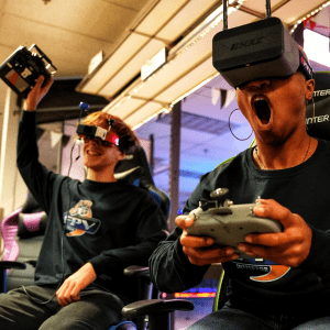
These days, students can take these projects to new heights with the amazing technology available to consumers and classrooms. One technology taking the spotlight? Drones!
Keep reading to get some fun and educational ideas for drone science projects.
Using Drones in Science Experiments
Drones are revolutionizing everything from environmentalism and agriculture to computer programming and the military. In science, the possibilities are endless with drones— which makes them the perfect gadgets for experimentation.
Before setting out on a drone science project of your own, make sure you know the rules and regulations if you intend to pilot outdoors. When you’re good to go, here are some drone exercises to consider trying.
Calculate Maximum Payload
One main capability of drones is carrying objects, such as cameras or items for delivery. These add weight to the drone and can affect how it flies. Payload is the total weight of any additional object a drone carries while it’s in use.
Without looking up the drone specifications, calculate the maximum payload a drone can carry. Observe how varying payloads alter the drone’s speed, controller response, and battery life.
Delivery Projects
Carry out a delivery mission with your drone or assign students to come up with a mission. Figure out how the drone will carry the cargo, where the drone needs to fly, and what consists of successful drone delivery.
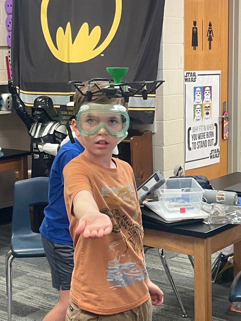
Build a Drone
There are several science projects you can do with drone building:
- Build drones from different DIY drone kits and see which one flies best
- Build a drone out of recycled household materials
- Assemble a custom solar-powered drone
- Create and test your own propeller repair kits
It’s possible to create drones using popsicle sticks, soda caps, wires, batteries, and basic computer panels. Get creative with it!
Best Aerodynamic Drone Obstacle Course
See who can build the best drone obstacle course. Using the same drone, track different metrics of each course such as difficulty, speed, navigation commands, team feedback, and course safety.
Aerial Photography Challenge
For the visual learners, experiment with drone photography outcomes using different drones and cameras. Some drones come with cameras attached, while others require you to attach your own.
- Attach a GoPro to a hand-operated drone and see how high it can capture footage
- Use a camera quadcopter and try to film a kite’s flight path in real-time
- Observe sun rotation with a timelapse of shadows on the ground
- Study architecture or landscape symmetry
Comparing drone imagery with on-the-ground footage brings a whole new perspective to learners of all ages. You don’t have to limit students to science when experimenting with drones.
Catch and Release “Fishing”
Attach bait to a drone and hover it above the water for some catch and release fishing. If drone regulations limit you from flying near the water, you can experiment with hover and weight capabilities by picking up fake fish in the classroom or “fishing” for designated objects in a school swimming pool.
Wildlife Monitoring
Use drone videography to monitor birds, rodents, marine life, or forest wildlife. Study animal behavior, population estimates, local migration patterns, or species identification.
You can also use drones to study plants, such as trees, wildflowers, native flora, and even common pests that affect your local environment.
3D Mapping and LiDAR Data Collection
With the right software, drones can be used to map large areas of land, construction, emergency routes, and more. Light Detection and Ranging (LiDAR) uses laser beams to record data about the earth’s surface and converts it into 3D imaging. Sounds complicated, but with a little learning you can:
- Assess crop rows of a garden or farm and notice gaps in planting
- Map hospital access within a specific radius
- Survey the school campus for building and equipment damages
- Make a 3D model of your neighborhood
- Identify coastal temperature spikes and shoreline erosion
Knowing how to map large areas with drones is common in all fields of science in the real world. Learning this skill early can set students up for a career!
Underwater Exploration
Drones aren’t just for flying— some drones can swim underwater. While underwater drones are typically more expensive, using them for higher-level science projects can include tracking ocean CO2 levels, monitoring water quality, and attaining stunning footage of marine life.
Demonstrate Rescue Missions
Here’s perhaps the best drone project of all: come up with practical ways to help people in need. Demo how to use drones to put out wildfires, save a group of kids from drowning, deliver emergency medical supplies, or defend a pilot squad under an unexpected attack.
Drone Hacking
Cybersecurity, anyone? Experiment with hacking a drone to make case studies for:
- Detecting when a drone is being hacked
- Hacking dangerous enemy drones to prevent an attack
While educators might have a negative view of hacking, knowing this skill is key to prevention in real life. Show how hacking can be used for good.
Program a Drone
Learn the basics of coding and program a drone to carry out a set of missions. Set it to fly autonomously through a specific route, program it to deliver school supplies to another classroom, and test your hypotheses through a competitive drone race. Compare success rates of different drone programming software or drone models.
Model Solar System Exploration
Create a site-wite model of the solar system where each planet is at a relevant distance from one another. Set a drone to go on a space exploration, timing the distance between each “planet” and then comparing it to the actual distance in space.
Drought Mitigation
Run a pretend project where you locate the county’s most prominent drought locations using heat mapping technology. Calculate, plan, and deliver appropriate watering needs based on small, dry areas of land, and gather data on how much water you saved using drones compared to traditional crop watering systems.
Science Projects and Programs with Drone Technology
The sky is no longer the limit with drones for science projects. If you’re ready to get your hands on drones in the name of science and learning, Drone Legends has everything you need to experiment wisely (and have a lot of fun doing it!).
For drone curriculum, project outlines, and STEM education support, reach out to Drone Legends today.